UN
16 Island Road
£ 134,500
Description
We don't have a Description for this property.
- Bedrooms
- 2
- Bathrooms
- 0
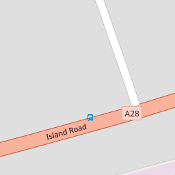
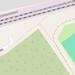

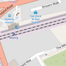

Leaflet © OpenStreetMap contributors
The heatmap indicates the level of crime in the area. The color of the heatmap indicates the crime severity and recency.
Metrics Year-on-Year
- Average area value
- 262,768.00 £Increased by 11.50 %
- Average area rental value
- 1,117.00 £/moIncreased by 4.78 %
- Est rental Yield
- 5.10 %Decreased by 6.08 %
- Crime Rate
- 19.00 %Unchanged by 0.00 %
from 235,661.00 £
from 1,066.00 £/mo
from 5.43 %
from 19.00 %
Nearby Schools
| Name | Type | Ofsted | Distance |
|---|---|---|---|
| Junior King'S School | Other Independent School | 0.51 KM | |
| Sturry Church Of England Primary School | Academy Converter | Outstanding | 0.67 KM |
| Parkside Community Primary School | Community School | Requires improvement | 2.46 KM |
| Spires Academy | Academy Sponsor Led | Good | 2.95 KM |
| Water Meadows Primary School | Academy Sponsor Led | Good | 4.16 KM |
Images
Nearby Streets
| Name | Average Price | Average Sqft | Distance |
|---|---|---|---|
| Forge Close | £ 350,000 | 0 | 0.00 KM |
| Ottoline Road | £ 0 | 0 | 0.00 KM |
| Raggety Grove | £ 0 | 0 | 0.00 KM |
| Fox Lane | £ 0 | 0 | 0.00 KM |
| Bluebell Wood | £ 150,000 | 0 | 0.00 KM |
Nearby Transport
| Name | NLC | TLC | Distance |
|---|---|---|---|
| Sturry | 5029 | STU | 0.20 KM |
| Bekesbourne | 5198 | BKS | 4.68 KM |
| Canterbury West | 5007 | CBW | 5.72 KM |
| Canterbury East | 5164 | CBE | 6.12 KM |
| Herne Bay | 5174 | HNB | 7.06 KM |
Nearby Listings
| Address | Price | Type | Score | Distance |
|---|---|---|---|---|
| Sleigh Road, Sturry, CANTERBURY | £ 22,500 | BUY | 5 / 10 | 0.13 KM |
| Sleigh Road, Sturry, Canterbury | £ 280,000 | BUY | Unknown | 0.13 KM |
| Island Road, Sturry | £ 600,000 | BUY | 7 / 10 | 0.18 KM |
| Island Road, Sturry, Canterbury, CT2 | £ 650,000 | BUY | Unknown | 0.20 KM |
| Sleigh Road, Sturry, CT2 | £ 525,000 | BUY | 7 / 10 | 0.23 KM |
Nearby Properties
| Address | Price | Distance |
|---|---|---|
| 24 Island Road | £ 245,000 | 0.00 KM |
| 32 Island Road | £ 270,000 | 0.00 KM |
| 22 Island Road | £ 243,000 | 0.00 KM |
| 26a Island Road | £ 132,500 | 0.00 KM |
| 10 Island Road | £ 207,500 | 0.00 KM |